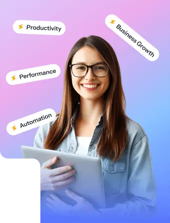
Grab a chance to avail 6 Months of Performance Module for FREE
Book a free demo session & learn more about it!
-

Will customized solution for your needs
-
Empowering users with user-friendly features
-
Driving success across diverse industries, everywhere.


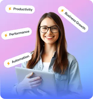
Grab a chance to avail 6 Months of Performance Module for FREE
Book a free demo session & learn more about it!

Superworks
Modern HR Workplace
Your Partner in the entire Employee Life Cycle
From recruitment to retirement manage every stage of employee lifecycle with ease.

-
Seamless onboarding & offboarding
-
Automated compliance & payroll
-
Track performance & engagement

Be An Encyclopedia of All HR, Payroll & Recruit Concepts!
Master your skills & improve your business efficiency with Superworks
- Easily Accessible
- Customized
- Employee Friendly
- Searchable

